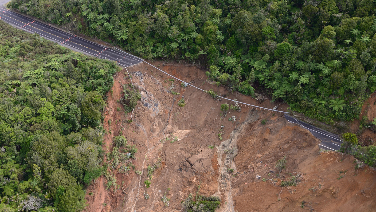
Information about natural hazards and risks underpins good decision making. We hope that the development and provision of robust hazard information will enable our stakeholders, including the general public, to evaluate natural hazard risk and make well-informed decisions.
The Waikato Regional Hazards Portal is the ‘go to’ for any natural hazard information requests including flooding. It contains our most up to date spatial information on natural hazards, which ranges from property scale to national scale information.
When seeking natural hazard information from us, please follow the process below.
How to access natural hazard information
When seeking natural hazard information from us, please follow this process:
- Visit the Waikato Regional Hazards Portal to view the available information for your property or area of interest - make sure you follow the instructions available on the webpage and overview tab.
- Use the 'Overview', 'WRC data' or 'District Council data' tabs in the hazards portal to access the Co-Lab data portal and explore hazards data that may be available for you to use or download.
- If after viewing either the hazards portal or data portal you have some questions, you can submit a ‘Request for service’ form.
- Flood levels can also be requested using this form. Please check the portal first to see whether flood level information is available and quote the relevant Cross Section ID provided in the "River flooding" tab. Note that we provide flood levels, which are not floor levels (although they may inform them). You will need to contact your district/city council for floor level information.
- Alternatively, you can call us on 0800 800 401, though the online form (link above) is preferred, and we will usually get the information to you just as quickly.
- If you are planning the development of a subdivision, you should make sure you are using the most appropriate natural hazards data available. Before using any of the Waikato Regional Council natural hazard data for subdivision development purposes please contact the Waikato Regional Council Regional Resilience team for guidance. Note that further information on resource consenting is available, here.
More information and data
Waikato Regional Council holds extensive natural hazard information, but it is not complete for the entire region. Thus, a lack of natural hazard information for an area does not necessarily mean it will not be affected by natural hazards.
We recommend that you also contact the relevant district or city council as they may hold additional information, including minimum floor level requirements, stormwater, overland flow paths and surface flooding/ponding.
The following information and data may also be useful:


