Information and help during drought time
This page contains information about drought in the Waikato region. It also provides links to up-to-date data on rainfall, soil moisture, groundwater and river flow, as well as help services. During a drought event this information can help you plan ahead and know who to contact if you are experiencing hardship. There is also information about water take consents during dry conditions.
Live data, resources and help
We have monitoring stations across the region that send through up-to-date information on groundwater levels, river flows and river levels, water temperature and soil moisture levels.
Select an option below to view information. You will then be able to select a monitoring station location from a map or table.
NIWA also has valuable, up-to-date climate information. Links to this information are also provided below.
Drought resource for Waikato farmers
This handbook aims to provide farmers with a greater understanding of drought events as well as information on various options that may help farming operations become more resilient to this phenomenon.

More information you might need to know
Drought and its impacts
Drought classification
A drought differs from other natural hazards in that it lacks any precise or universally accepted definition, seldom results in structural damage and can linger for lengthy periods of time in affected areas.
A drought is generally defined as a shortage of rainfall over an extended period of time, which restricts or prevents a human activity. This can lead to a reduced volume of water in water bodies such as rivers, dry ground and a lack of plant growth. These impacts affect activities such as agriculture and power generation, and can have flow on effects to other sectors of the community.
Because the main impact of a drought is often on agriculture, the Ministry for Primary Industries will declare when a dry period is classed as a drought.
Climate
Changes in weather patterns can affect the likelihood of drought in our region. Both El Niño and La Niña phases of the Southern Oscillation weather pattern can cause droughts around the country, however an El Niño pattern is more likely to cause droughts in the Waikato region. It has also been predicted that climate change will increase the frequency, severity and length of droughts.
Potential impacts of drought
The social and economic impacts of drought can include:
- human and animal health effects
- restricted recreation
- loss of social and cultural values
- productivity loss
- business failure
- unemployment
- damage to public and private infrastructure
- damage to ecosystems including loss of ecosystem services
- changes to the risk profile of pests and diseases
- erosion
- wildfires.
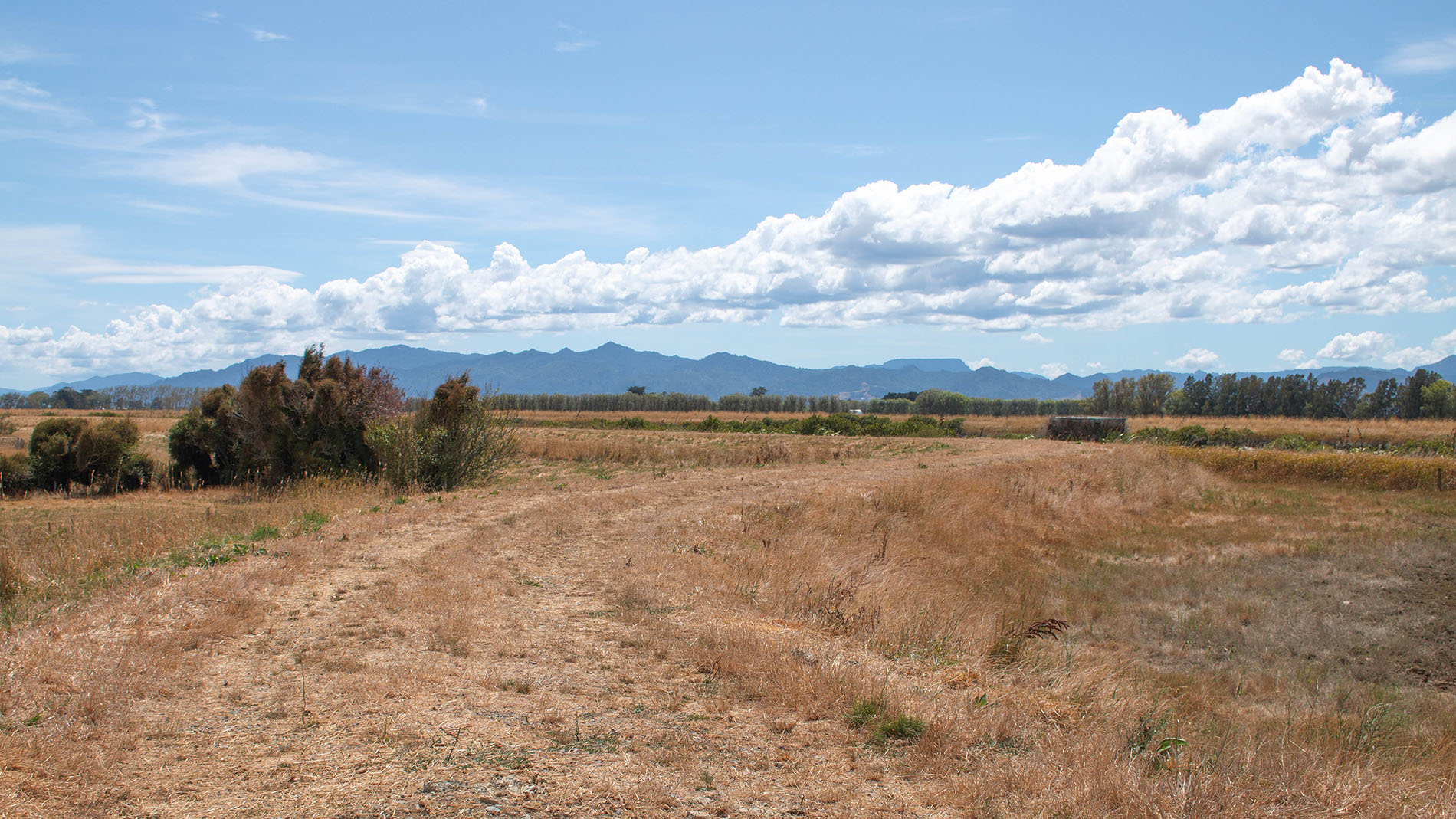
Drought in the Waikato region
The Waikato region recorded its driest decade from 2011 to 2021.
Historically, water shortage and drought within the Waikato region has not been as severe as in other regions, such as Otago, Marlborough, and Hawke's Bay. However, drought events have impacted communities and the Waikato region's economy in the recent past. Areas typically most affected by water shortage and drought conditions are in the north: the Hauraki Plains, lower Waikato Basin, Thames-Coromandel and Pukekohe.
There have been a number of drought events since 2007/08. Six of the seven driest three-month periods on record (1905 to present) have occurred since 2007/08.
How the Waikato region has fared over the years
- 2025: The agriculture minister extended a drought declaration in March for the Waikato and several other North Island regions recognising the impact the extended hot, dry conditions were having on many farmers.
- 2022/23: This was a very wet period and much of the region experienced record-high levels of rainfall over the 12 months. The summer period was exceptionally wet including flooding associated with the 27 January storm event and then Cyclone Gabrielle in February. A positive outcome of the continued period of rainfall was the increased recharge to groundwater levels, which rebounded across much of the region.
- 2021/22: The Waikato experienced record low flows in a number of rivers and streams. Of particular concern were the spring-fed rivers of the South Waikato. Many of these experienced record low flows following low recharge over an extended period.
- 2020/21: There was a dry start to the 2020/21 summer, although January was close to average for parts of the region. The low rainfall, combined with above average temperatures, resulted in lower than average soil moisture levels, particularly to the north of the region. Winter and spring rain lifted moisture levels.
- 2019/20: The Waikato region experienced a dry 2019, with annual rainfall well below long term average. This was followed by a record breaking summer of low rainfall. Ruakura recorded its driest summer (December 2019 to February 2020) on record, with just 90.8mm of rain in a record stretching back to 1905. In particular, January and February 2020 were very dry, with just 16mm of rainfall. By the end of the year the annual rainfall at Ruakura was the lowest on record.
- 2010: Waikato had two dry springs, which resulted in a double drought. The drought led to the owners of the Waikato River hydro scheme, Might River Power, announcing a 10 per cent drop in hydro production for the December quarter. Dairy farmers were estimated to have lost an average $100,000- $150,00 in income over the previous three years due to consecutive drought events.
- 2009: The Waikato experienced a dry spring, the effects of which were compounded by the previous drought of 2007-2008.
- 2007-2008: A drought event lasted from November 2007 to April 2008, during which the Waikato experienced its driest January in a century. A shortage of feed caused by the drought increased the price of silage to four times its normal rate. The cost of the drought was believed to be $1.5 billion to the Dairy sector alone. The economic effect of the drought was one of the factors that threw New Zealand’s economy into recession by mid-2008.
As a result of the projected effects of climate change, by 2090, the time spent in drought ranges from minimal change through to more than double, depending on the climate model and emissions scenario considered. Parts of the Hauraki district, Matamata and Thames-Coromandel are especially likely to experience increased drought risk.
What Waikato Regional Council is doing
- Waikato Regional Council's role during times of drought is to provide up-to-date information, particularly to resource consent holders of water takes. We are also responsible for ensuring people are only taking their fair share of this precious resource that is water.
- We work closely with other agencies affected by drought, such as the Rural Support Trust, Federated Farmers, and district councils.
- We contribute to the Ministry for Primary Industries' regional drought committee. The committee looks to the council to provide key information on state of environment water conditions.
- Waikato Regional Council's Farming Services team assists key agricultural stakeholders and the sector in general to develop, promote and implement farming practices that can help during a drought.
- Civil Defence and Emergency Management works closely with and supports other agencies, such as the Ministry of Social Development and the SPCA, to ensure the welfare of both humans and animals is being cared for.
- Waikato Regional council staff liaise with local councils and other water take consent holders to ensure they understand their consent requirements with respect to impacted waterways and aquifers.
Adapting to drought in the Waikato - a research report
To fully understand how to adapt to a drier future, Waikato Regional Council scientists, economists and water management experts got together to share their knowledge and develop a systems approach to help guide decision making and inform policy and investment.
