Waikato OneView gives external agencies and members of the public a unified and more comprehensive view of regional spatial information.
Waikato OneView
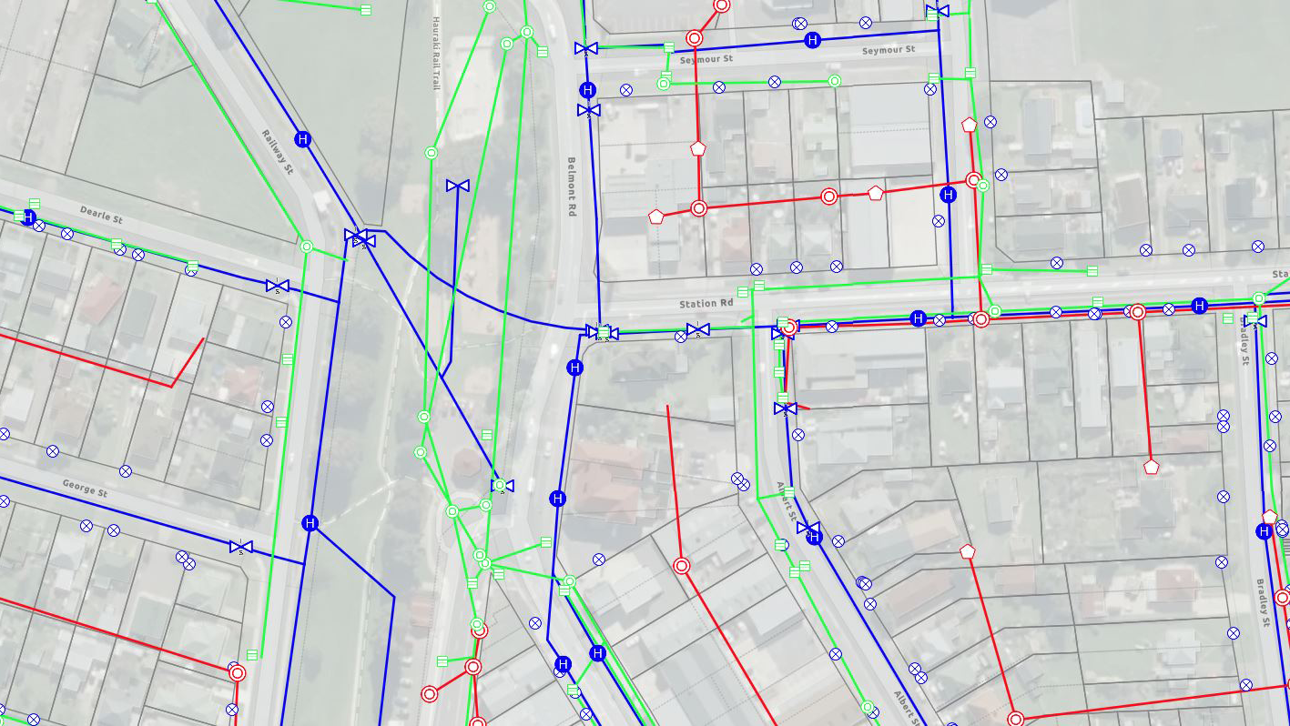
Waikato LASS (Local Authority Shared Services) has launched Waikato OneView, an innovative platform aligning and merging key geospatial data and information from the region’s different councils.
The platform provides external agencies and members of the public with a unified and more comprehensive view of spatial information.
Waikato OneView includes GIS datasets for water utilities and infrastructure, property boundaries and zones, and community and recreation maps such as bike and walking tracks as well as other community-related data.
The information is presented via a web map viewer and can be viewed, searched and downloaded in a variety of formats.
Waikato OneView is an extension of the Waikato Data Portal, the first of the region’s geospatial collaboration projects giving the public easy access to councils open datasets. Both projects are aligned to the Open Government Data Programme seeking to make central and local government data widely accessible and available for reuse.