“We have over the years on numerous occasions said, “oh, we've dodged a bullet with that one”. But this time we did get a bullet … but for those in the Gisborne and Hawke’s Bay area, they got a bomb.”
– Rick Liefting, Regional Resilience Team Leader.
It’s been a very busy start of the year for our Regional Resilience Team, with staff integrated in the regional Group Civil Defence and Emergency Management response of Cyclone Gabrielle. Team leader Rick Liefting gives some insight into the “unprecedented events” that have unfolded and what that means for the regional resilience of our communities.
“I keep using the word unprecedented, and it is always unprecedented until the next one. And that's what we've had over the last probably three months, since about November. We've had successive events with each compounding the next one. That's something we have not seen before, so again “unprecedented”.

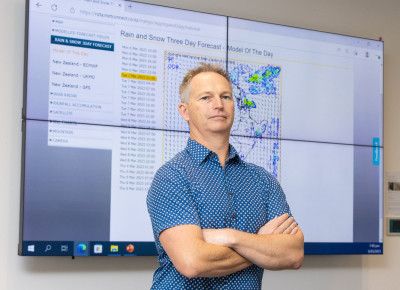
Rick Liefting, the council's Regional Resilience Team Leader.
We have over the years on numerous occasions said, “oh, we've dodged a bullet with that one”. But this time we did get a bullet. We got quite a big bullet in some of our areas, but for those in the Gisborne and Hawke’s Bay area, they got a bomb. So, while we were hit, it could have been much worse.
The latest, newer advice from NIWA is that between now and the end of the cyclone season, we could potentially see another three or five cyclones coming down our way. We don't really know what's going to come at us, but in terms of our role at the regional council we are quite integral providing the ‘so what’? What does it mean when we get 200 millimetres of rainfall and over 48 hours? What does that mean to our catchments, our rivers, our infrastructure? We provide that information, that intel, through to civil defence and our partner agencies to provide them with some really good information to go forward with how they are to best plan for their communities.
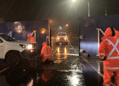
A lot of the information is about our flood protection schemes and land drainage schemes. For example, what is the likelihood of the Kauaeranga Spillway, one of our key flood protection schemes in Thames, spilling over and closing State Highway 25 as it is designed to do in a one in five-year event. Also State Highway 26 in Paeroa. During Gabrielle we operated for the first time our Criterion Bridge floodgates (pictured), which worked very, very well and saved a lot of time compared to the old days, while also improving the safety of our operational teams and the community.

Council staff close the Criterion Bridge floodgates in Paeroa during Cyclone Hale.
In the past, we had to put up sections like Lego blocks across that gap in the highway and it could take three to four hours, whereas this time it took just half an hour to slide those new gates across.
So, we've learned a lot and we’re still learning a lot from Cyclone Gabrielle, from the impacts in the Hawke’s Bay and Gisborne area as well. The flood schemes protecting the Hawkes Bay included stopbanks that were designed to 100 year and 500 year return periods. The 100-year stopbanks were overwhelmed and the 500 year ones held, just. That’s a significant event and it’s something we need to think about in terms of the future resilience of our communities. What is our tolerance of such events? How often do our communities want to deal with these types of events?
All this is directly related to how we maintain, upgrade and design our flood protection; by working with communities around what is acceptable, tolerable or intolerable risk. We need to build that resilience into our infrastructure going forward, and hence we need to understand the potential impacts of climate change and what new risks that will bring us, based on the current risk that we now have had. Unfortunately, some people have just experienced the worst first-hand, and it’s really important now that we build on that awareness. How do we manage the impacts we’ve seen moving forward?
While the Waikato has not recently experienced schemes being overwhelmed, the 2018 storm surge event got up to design flood level. Luckily, we had a bit of freeboard on top of that which saw us through. Historically, we have had our share of significant events – in the Lower Waikato, Hauraki Plains Thames Coast and Te Aroha to name a few. So again, it’s about discussions around “well, we have survived this one, but what does the future hold for us and what do we need to do to work with our communities?”
We need to understand how we remain resilient. Is that by increasing stopbank height or is it something else, like trying to reduce the intensity of flows coming through the system. Understanding how the system works is quite integral and how that system may change in the future. Community wellbeing also plays a big part and it’s a large piece of work to understand a community’s values.
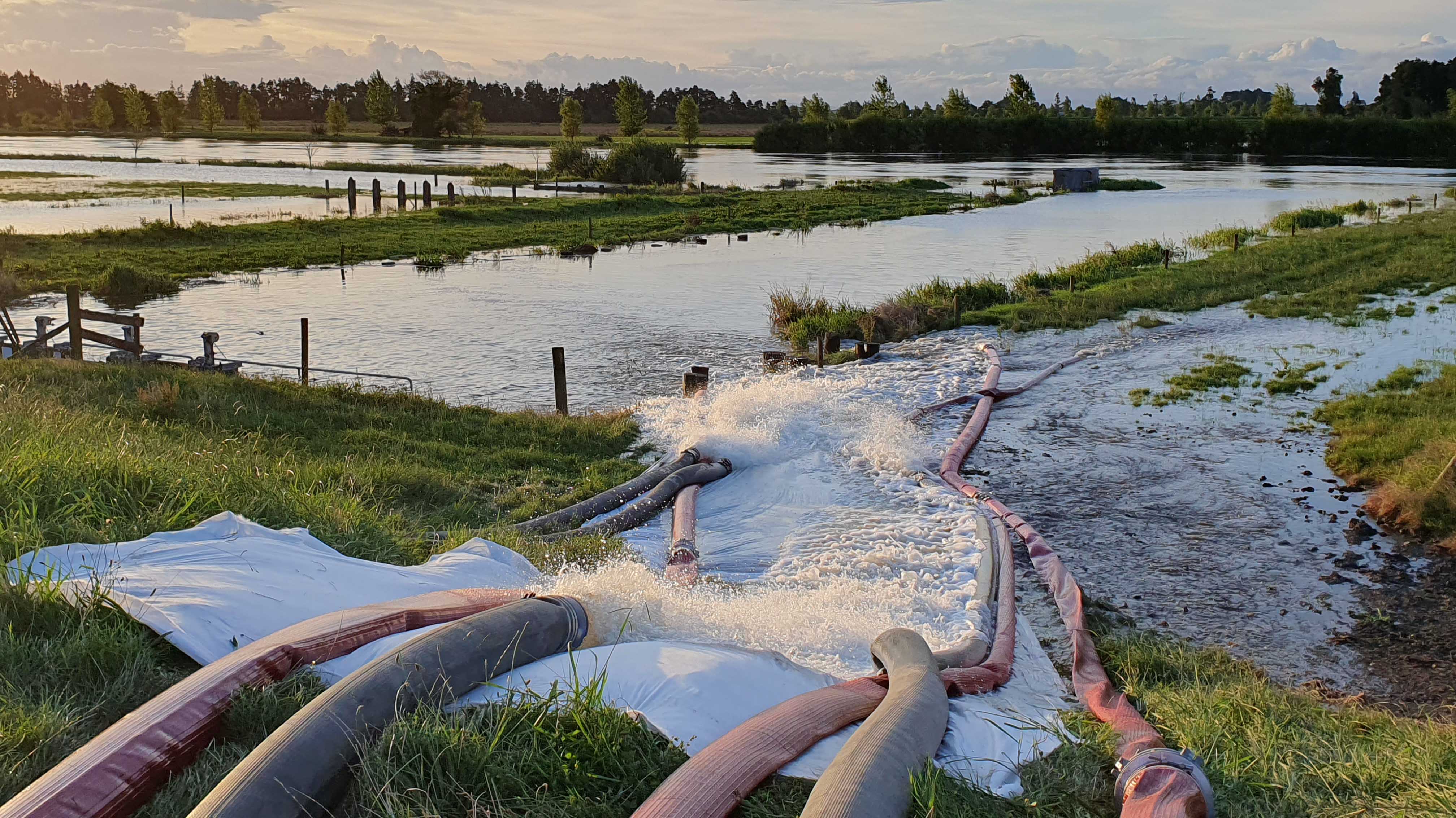
As an example, we’ve been working with Hauraki District Council who are leading a community adaptation plan for the Wharekawa Coast (pictured, Kaiaua 2018 event) and that’s a multi-year plan where we go through and understand the system.

Kaiaua flooding, 2018.
The real success of this project was working with the community from the get-go. There is a very, very positive community panel in place there that we worked closely with and who engaged with the rest of the community. We now understand the values that that community hold dear – the economic values, the social values and the cultural values, too. And how will they change, or are likely to change, with a changing climate, and how do we adapt to those changes while maintaining those community values. It’s a long process. And if we didn’t have the community panel in place and have their trust, then it may have been a very different story. That’s really good learning for the future work we’ll do in this space.
Obviously, the Climate Adaptation Act when it is released this year will be prompting the big discussions and decisions about where people should be living, and who pays. But in terms of future development, we have regional spatial strategies that will guide decisions in terms of where we develop so that we are not developing in areas that are at risk of flood.”
Waikato Regional Resilience Team
One of our roles as a regional council is to work to increase regional resilience to natural hazards, and that means being response ready and capable at all times.
Our Regional Resilience Team is made up of experts in natural hazard, risk and emergency management, and engineers specialising in flood modelling, flood protection and land drainage, who all work towards the following key objectives.
- To identify, analyse, collate and provide natural hazard information to ensure that natural hazard risk is reduced over time and sound decisions are made regarding current and future development of hazard prone areas.
- To ensure that arrangements, standards and processes for emergency response are in place and that emergency management staff have the capability and resources to respond to an emergency event to achieve the best outcome for the community.
- To provide robust technical advice and guidance to support effective river management, flood protection and land drainage.
Read more about our regional hazards and emergency management
Waikato Regional Hazards Portal
The geographic location and diversity of the Waikato region means that it is subject to many natural hazards, such as flooding, coastal processes, volcanic activity and earthquakes. Where there is people and development, the presence of these natural hazards results in risk. In order to effectively manage risk to people, communities and infrastructure, natural hazard information is essential.
We developed the Waikato Regional Hazards Portal to improve access to hazard information, and to help the public, local authorities and others make informed decisions about their exposure to natural hazards.


To ask for help or report a problem, contact us
Tell us how we can improve the information on this page. (optional)