"Rainfall and river flow are quite different, and this is why recalibrating our models with the most up to date and extreme information helps us to more accurately predict what may happen."
– Ghassan Basheer, Regional Resilience principal Technical Advisor

Ghassan Basheer
Flood engineers get excited when water levels exceed previous records.
It means they can check the results against the hydraulic modelling of the system in flood and recalibrate that modelling if necessary. This improves their understanding of how that system performs under different rainfall scenarios and validates the robustness of the design of flood protection schemes.
“Our models are built essentially using rainfall data from NIWA, but rainfall doesn’t equate to what ends up in a system,” says Regional Resilience principal Technical Advisor Ghassan Basheer.
“Rainfall and river flows are quite different, and this is why recalibrating our models with the most up to date and extreme information helps us to more accurately predict what may happen.”

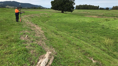
Taking GPS coordinates along the debris line.
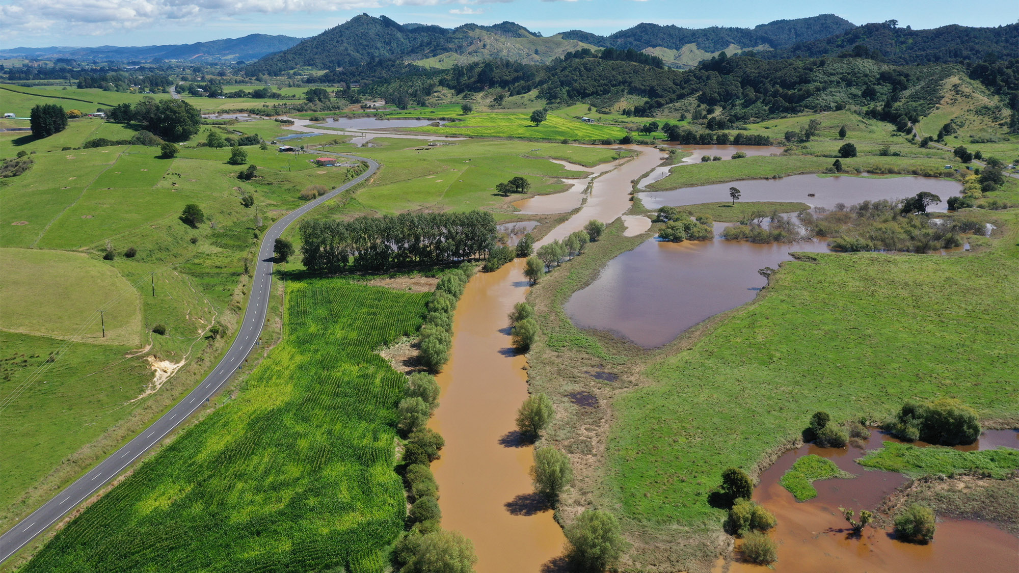
During Cyclone Gabrielle, the Jefferis Bridge gauge in the upper catchment of the Mangawara River flood protection scheme recorded a water level of 21.176 metres Moturiki Vertical Datum (height above sea level) – 47 centimetres above the flood of 1998, when a prolonged period of rain brought extreme flooding across the Waikato.
“We got excited about this because the 1998 flood was a very big flood in the lower Waikato system and now we have something bigger within the Mangawara River system that we need to learn from,” says Ghassan.
At 47 kilometres in length, the Mangawara River is the largest tributary of the lower Waikato River downstream of its confluence with the Waipā River.
Its flood scheme, which was designed and constructed in the 1960s and 1970s, protects about 8800 hectares of land with 88 kilometres of stopbanks, 195 floodgates, six large retention dams, 5.5 kilometres of spillways and one pump station.
Most of the infrastructure is designed to withstand events of 50 years ARI (annual return interval) but some only provide a 10-year ARI.
The design 50-year ARI equates to a rainfall event of 190.6mm over a 72-hours period. The council’s Maungakawa rain gauge, which is located at the top of the Mangawara catchment, accumulated 143mm over 72 hours, which was assessed to generate a 10-year flood.
“But every rainfall event is different; the distribution of rain over a catchment is different every time. How much water flows through a system has so many variables, such as how saturated is the land already, over how much time has the rain fallen, how full is the system already …”
Directly after the cyclone, the council’s operations staff put in markers along the debris lines left by the flood within the Mangawara system, showing the flood levels.
GPS coordinates were taken of the debris lines and fed into the hydraulic model to capture the flood levels of Cyclone Gabrielle.
Ghassan says the cyclone flood profile proved to be slightly lower than the modelled 10-year flood profile for the Mangawara River.
“This shows that our flood model provides an acceptable level of representation of the actual system and can be relied on for flood management and system performance assessments,” says Ghassan.
“Hydrological monitoring and maintaining accurate flood records are high priority in the work we do. It’s a very effective way to predict impacts of flooding, develop our response plans, review our schemes and address any issues that may arise.
“We don’t want to end up with flood levels higher than what our stopbanks can cope with. We need to make sure our systems continue to work as designed.”
Already this year, with successive events, many of the council’s flood schemes have been put under immense pressure over a long period of time.
Despite this, the flood schemes have all performed well, protecting thousands of hectares of low-lying land while protecting people and property from the damaging effects of flooding.

