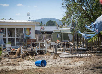
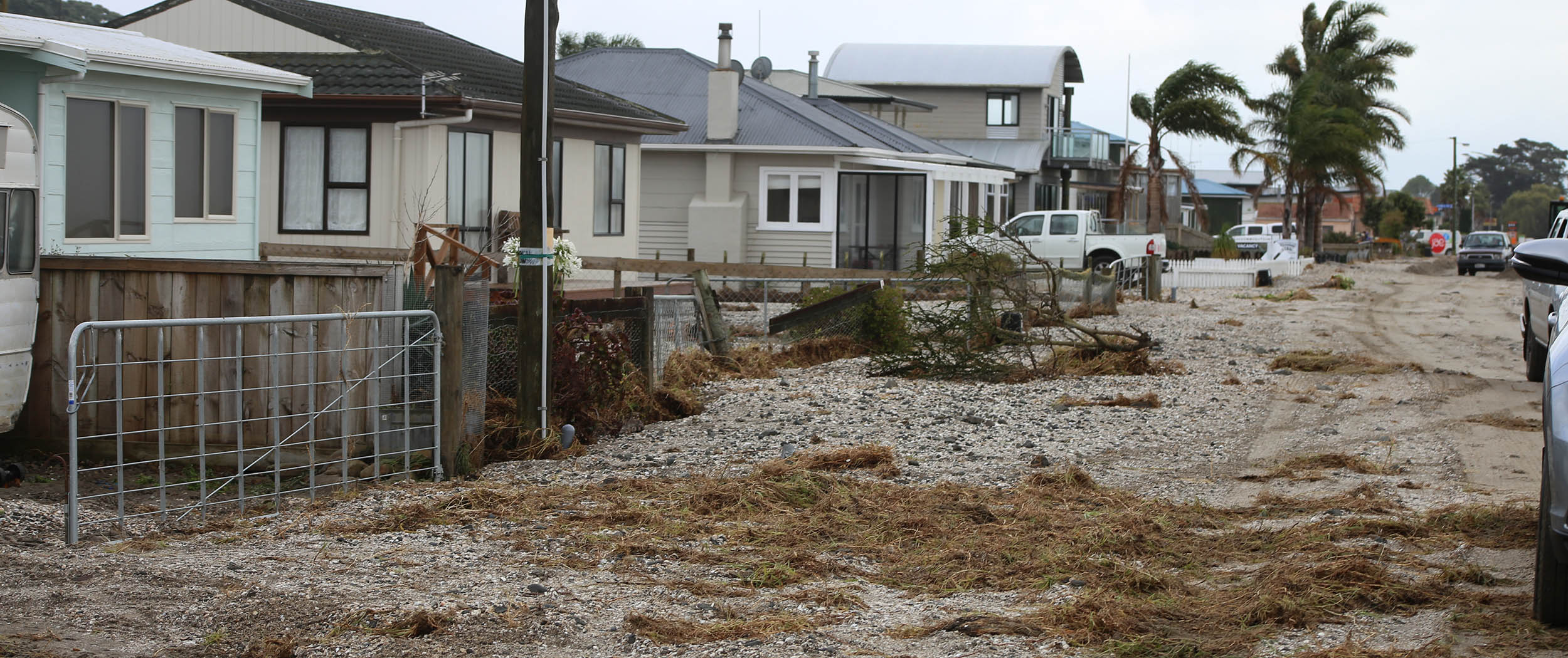
“Everyone rolled up their sleeves and helped remove sodden furniture and fittings, baked cakes, dropped off dinners to those in need, provided a place to chill out if necessary – anything to help.”
- Gay Rawiri, Wharekawa Coast 2120 community panel chair
 In January 2018, Mother Nature showed Gay Rawiri and other residents along the west coast of the Firth of Thames what she was capable of.
A monster storm combined with a king tide caused the sea to invade the land, flooding community facilities and services, houses, properties, farmland and recreational areas.
“We had the perfect storm," says Gay, who lives in Waharau, a small settlement north of Kaiaua. “We are lucky in that we are elevated but we look out on to Tīkapa Moana (Firth of Thames) and we saw the tides come in and the magnitude was scary. We could not leave our house for two days.
“When the waves eventually left, we ventured into the village to help with the clean-up. The farmers came from out of the hills with their tractors and cleared the roads. Everyone rolled up their sleeves and helped remove sodden furniture and fittings, baked cakes, dropped off dinners to those in need, provided a place to chill out if necessary – anything to help.”
The clean-up took months, and as time evolved the Wharekawa Coast 2120 project was formed to help develop a plan that looks at the wide range of issues around the coast and how to provide for a resilient and prosperous future over the next 100 years. Staff from Hauraki District Council, Waikato Regional Council and Waikato District Council work with the communities on the project.
Gay is the chair of a community panel of eight, including iwi, who all mostly live in the area.
“Our common goal is we love where we live. We are happy here. We know nature is going to do what nature does and we want to contribute to a long term, sustainable future for those who live here today and for our grandchildren and their children."
The community panel is helping the councils understand the significant natural hazard risks to the area and determine thresholds of when coastal inundation and stream flooding are no longer tolerable to the those who live there. Council asset and emergency managers have also determined thresholds relating to what they could tolerate with regards to resources required for them to respond to hazard events.
The information helps inform council planning in response to natural hazards, project when thresholds may be reached, and come up with a timeframe for specific actions.
The impacts are already being felt and will become more severe with the projected effects of climate change.
“We know what our community needs. We do not know about the technical aspects and the total scope of the project, but we are learning quickly and are comfortable with our contribution to the project. Our motto is no question is silly: ask!”


To ask for help or report a problem, contact us
Tell us how we can improve the information on this page. (optional)