Estuarine vegetation survey - Raglan Harbour
Report: TR2005/44
Author: Meg Graeme (Natural Solutions, Marine and Terrestrial Ecologists Ltd)
Abstract
All saltmarsh is significant in Raglan Harbour due to its limited extent – primarily dictated by the harbour geology, but also due to past infilling. Similarly all remaining freshwater wetlands/swamp forest that backs onto estuarine wetland should be actively preserved and enhanced due to its scarcity and habitat value.
Saltmarsh ribbonwood is uncommon in the harbour which is also a reflection of the harbours geology providing little flat land extending inland on which estuarine communities can grade into freshwater communities. The relatively small amounts of habitat available for saltmarsh ribbonwood have also often been modified for farming (either through grazing or infilling).
The two most significant future threats to the harbour’s estuarine vegetation (and water quality) are weeds and stock.
- Spartina is being controlled by the Department of Conservation but no action is being taken against the spread of saltwater paspalum. As this weed is so widespread, it is recommended that saltwater paspalum be controlled initially around significant habitats (such as the sea meadow on the house spit at Okete).
- Farms, with the assistance of the Whaingaroa HarbourCare Group are progressively being fenced and planted along their stream and harbour margins. This will go a long way to improving the ecological health of the harbour and those involved should be congratulated. However, there are still landowners who are allowing stock access to waterways.
Estuarine Vegetation Survey - Raglan Harbour [PDF, 859 KB]

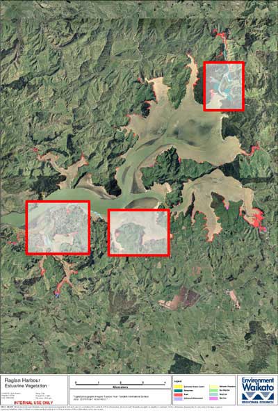
Click on highlighted areas on this map for a zoomed in view.
| Contents | ||
| 1 | Introduction | 1 |
| 2 | Methodology | 1 |
| 2.1 | Wetland Vegetation Classification | 1 |
| 3 | Field Notes | 2 |
| 3.1 | General Observations | 2 |
| 4 | Discussion | 8 |
| References | 9 | |
| Appendix I | Figures 1 – 27 | 11 |


