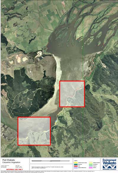
Estuarine vegetation survey - Port Waikato
Report: TR2005/41
Author: Meg Graeme (Natural Solutions, Marine and Terrestrial Ecologists Ltd)
About this report
Due to the 'river mouth' characteristic of this estuary the estuarine vegetation of Port Waikato is generally restricted to a fringe along the lower river banks. The large sheltered embayments that characterise many of the other Waikato estuaries do not occur. Therefore large scale loss of estuarine wetland through land drainage of low-lying flats has not been an issue.
The most ecologically significant estuarine vegetation at Port Waikato is the seagrass beds. These will provide important habitat for polychaetes, molluscs and crustacean, which in turn will provide food for fish and birds.
The fringing rush and sea meadow bands are compromised and threatened by the invasive saltwater paspalum. Saltwater paspalum is now the dominant estuarine species along the banks.
Estuarine Vegetation Survey - Port Waikato [PDF, 668 KB]

Click on highlighted areas on this map for a zoomed in view.
