 Funded: $1.31m by MPI
Total project cost: $1.31m
Project duration: 2 years (ended 2022)
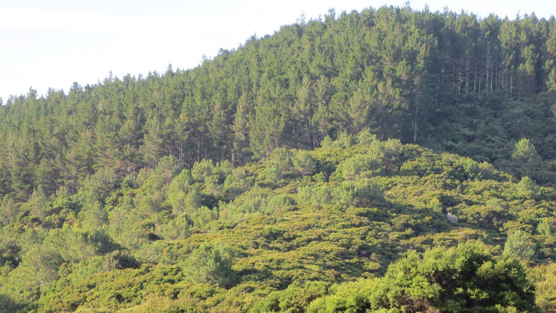
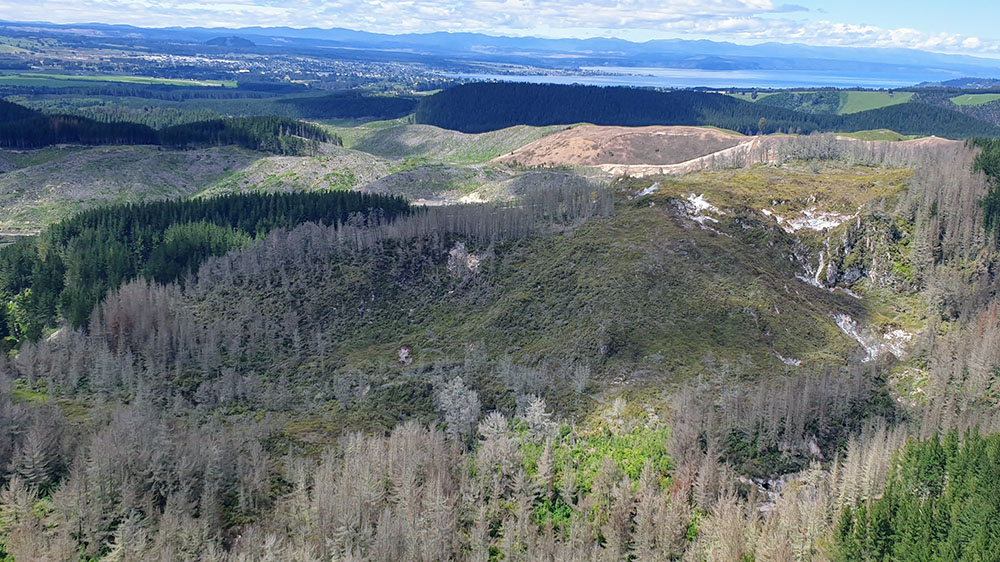
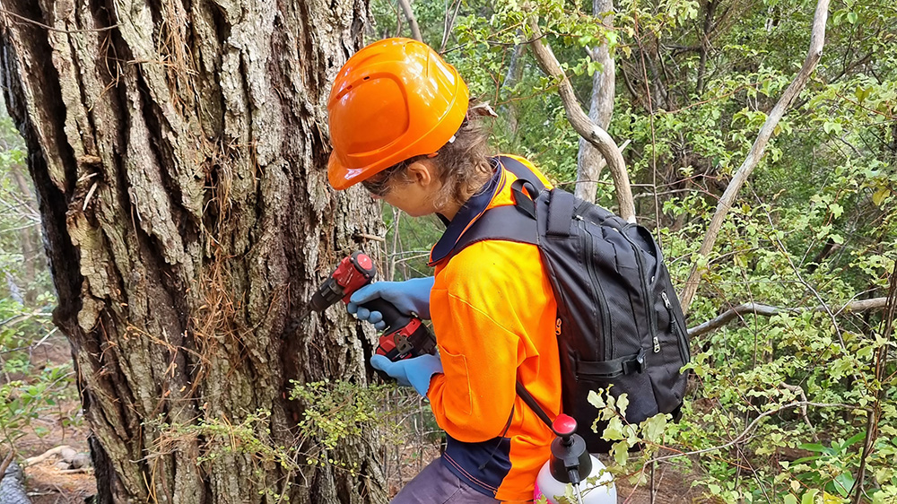
This funding was for wilding pine (conifer) control for nine community-led projects in the Waikato. Wilding pines have the potential to become a dominant species in our forests if left unchecked. Their fast-growing hardy nature means they can out compete native species, reducing biodiversity. With climate change predictions, this would only get worse. Therefore, along with our communities and financial support from MPI, we made a stand by starting to make inroads in controlling these plants in some of our region’s most significant landscapes.
Ahuahu/Great Mercury Island
This project to control Pinus pinaster on Great Mercury Island was a collaboration between the landowners, the Department of Conservation, Ngāti Hei and others. Groundwork was done to stop further spread across the southern end of the mammalian pest free island, but the main objective was to prevent wilding pines from spreading to the other islands of the archipelago. The total area controlled was approximately 120 hectares.
Kuaotunu Peninsula
This was a community led project by Kuaotunu Peninsula Trust. The group works with the Rings Beach Wetlands Group, Opito Bay Ratepayers, Project Kiwi and other landowners on the Kuaotunu peninsula to control the wilding pines in the area. The funding helped address the wilding regrowth that presented a threat to gains made from the felling of large pines since 2010. The work included control of wilding pines at Black Jack Reserve, Matarangi Bluff Reserve, along the Opito Bay coastline and at Waitaia Reserve through to Whauwhau Beach.
Whenuakite
This project was supported by Whenuakite Kiwi Care Group, the Tairua Environment Society (which had been controlling wilding conifers in the south of this area) and landowners. Ground based control was done on two private landowner sites.
The coastal regenerating forest is very susceptible to wilding pine invasion and is home to one of the Waikato region’s most successful community led predator control and ecosystems management projects. A management plan was also developed to continue direct control of wilding pines in this area.
Northern Coromandel
The funding enabled the preparation of a Northern Coromandel Wilding Pine management plan for about 18,000 hectares of land in the Colville Ecological District, including Mt Moehau.
Alum Lakes/Te Kiri O Hine Kai
Wilding pine control work at this site, a geothermal Significant Natural Area under the Taupō District Plan (SNA037), also had some carry over funding from LINZ and ongoing funding from Contact Energy for the 2022/23 financial year.
Orakei Korako, Red Hills and Tutuku Forest
Ngāti Tahu-Ngāti Whaoa Runanga Trust leads wilding pine control in this area. The funding was towards maintenance work to help prevent reinvasion of wilding pines in the vulnerable and nationally significant geothermal ecosystems at Orakei Korako (37ha) and Red Hills (126.6ha), plus their riparian margins and the 564.6ha Tutukau forest across the river.
Western Bay north, Taupō
Wilding pines are scattered across this 729ha naturally vegetated lake shore. Control work was done to prevent the pines from consolidating and impacting on the native vegetation, and from becoming a major seed source for infestation along the shores and cliffs of Lake Taupō.
Tauhara Maunga, Taupō
Tauhara Mountain Trust manages the culturally significant maunga (in conjunction with Tauhara Middle 15 Trust) on behalf of its multiple owners for the benefit of the entire community. This project is driven by tāngata whenua. The bulk of scattered infestations had been controlled and the funding allowed a focus on controlling trees that had been missed and the the dense wilding pines at the southern end of the maunga. Long-term objectives are to safeguard, restore and enhance Tauhara Maunga, including reintroducing native species lost to the area.
Waihaha/Western Bays south
This valley is of high cultural value to Ngāti Tarakaiahi, which owns a lot of the site, and is part of the Great Lake Bike Trail. Conifers are spreading actively in a number of locations within the 1087ha catchment. Pines are spreading from the plantation forestry block to the south of the Waihaha valley. Of particular concern is the Douglas fir in the upper reaches of the site where it’s forming extensive dense stands. The cliffs of Lake Tāupo are highly vulnerable to wilding conifer invasion and control would be extremely expensive should wilding conifers establish there in numbers. Project Tongariro has now taken over cotnrol of wilding pines in these areas.
Why wilding pines are an issue
We must act now, before the problem becomes too big to bring under control.
- Wilding pines spread fast – within 30 years they will take over more than a quarter of New Zealand, including iconic landscapes and unique natural habitats.
- Wildings are a $4.6 billion threat to the national economy.
- We will lose biodiversity conservatively valued at $331 million.
- Other losses include productive land, losses to primary production, lost water for irrigation and hydroelectricity generation and the need to spend more on fire prevention.
- Wildings are a threat to waterways.
- They can reduce water flow into rivers by 30-40 per cent.
- Wildings are a threat to biodiversity.
- They take over native ecosystems and threaten 52 of New Zealand’s rarest landscapes, including tussock lands, geothermal areas and the volcanic plateau, Coromandel scrub lands, coastal dunes and seasonal wetlands.
- They grow much higher than the native treeline, threatening alpine areas and the plants and animals that live there.
- They form a dense canopy which shades the forest floor, preventing growth of virtually all native plants and killing all established plants.


